Printers
What Is LiDAR and How Is It Used for 3D Printing?
LiDAR, which stands for Light Detection and Ranging or Laser Imaging Detection and Ranging, is a cutting-edge remote sensing technique that can generate accurate 3D models of environments or objects. Thanks to its ability to collect three-dimensional data with great…
- 3 min read
- Printers
- Six more stories
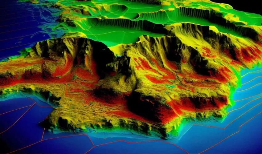
LiDAR, which stands for Light Detection and Ranging or Laser Imaging Detection and Ranging, is a cutting-edge remote sensing technique that can generate accurate 3D models of environments or objects. Thanks to its ability to collect three-dimensional data with great precision, it can accurately map the world around us. Used in a variety of fields such as archaeology, construction, and engineering, LiDAR is also invaluable when combined with 3D printing solutions. Its speed and reliability also make it a key tool in the development of autonomous vehicles.
Developed in the 1960s to map large areas of land, this technology has undergone significant evolution, particularly thanks to the integration of GPS and INS (Inertial Navigation System) systems. Today, it can be embedded in both 3D scanners and 3D printers to improve their performance.
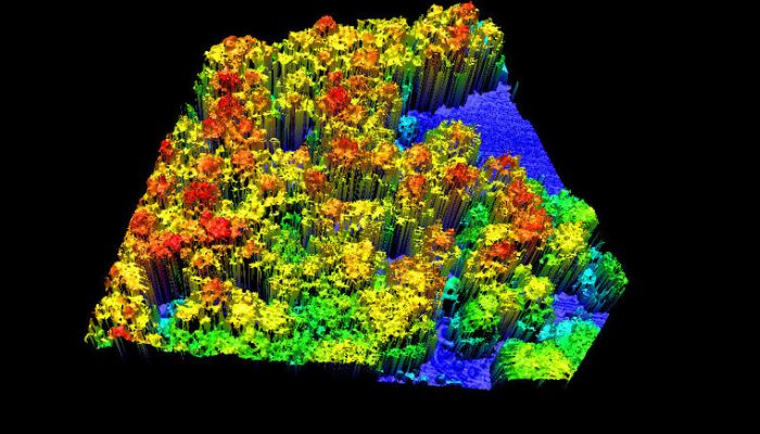
A 3D model generated from LiDAR data (Photo credits: ResearchGate – Kenji Omasa)
What Is LiDAR and How Does It Work?
LiDAR is a remote sensing technology that uses laser pulses to measure the distance between different objects and surfaces in order to reconstruct 3D models. This system mainly consists of a laser scanner, a LiDAR sensor, and a processor responsible for interpreting the data. Operating using a laser beam emitted at a specific wavelength, LiDAR sends millions of light pulses every second to the surfaces to be analyzed. These pulses, once reflected, are captured and converted into points by the sensor. All of these points form what is known as a point cloud, representing all of the information collected during the scan. The processor then processes this data by measuring the time of flight (ToF), i.e., the time it takes for each pulse to reach an object and return to the sensor. Using this time data and the horizontal and vertical emission angles of the laser, the system calculates the three-dimensional coordinates (XYZ) of each point. Thanks to the density and precision of these points, it is possible to obtain a highly detailed 3D representation of the environment or object being scanned.
More from the desk
Six other notes from the rest of the bench.
 Applications3D Printing Could Improve Cosmetic Surgery ProceduresScientists at Swansea University in Wales have developed a solution that they believe will transform the future of plastic surgery. They have developed an additive manufacturing technology capable of creating 3D printed artificial cartilage. This project aims to change the&hellip
 ApplicationsAMS mini, a 3D printed device capable of eliminating airborne virusesThe seriousness of the current health situation has led many companies to seek and develop initiatives to curb the spread of the virus as much as possible. Winsun is a perfect example of this, with the creation of small 3D…
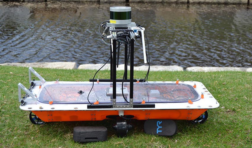 ApplicationsRoBoat 3D printed autonomous boats in AmsterdamA team of researchers at MIT’s Computer Science and Artificial Intelligence Laboratory (CSAIL) are working with the Institute of Advanced Metropolitan Solutions in Amsterdam on a project called RoBoat. The goal is to create a system of autonomous boats that…
 ApplicationsTOYOTA Motorsport GmbH & 3D Systems Partner to Drive Innovation for Automotive IndustryIt’s happening, TOYOTA Motorsport GmbH (TMG), a subsidiary of TOYOTA Motor Corporation recently announced it is partnering with one of the pioneers and giants of the 3D printing industry, 3D Systems. The two announced they have entered a partnership to…
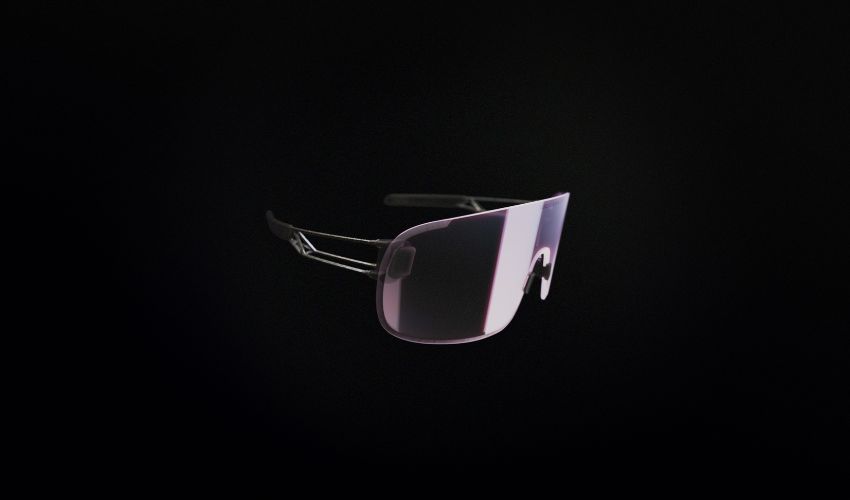 News‘Elicit Ti’ Cycling Goggles: The Fusion of Quality and SustainabilityAdditive manufacturing, also known as 3D printing, is being used in a wide range of fields, including construction, medicine, and space exploration. In the world of sports, 3D printing has already made an impact, creating customized bicycle grips, helmets, and…
 NewsTop 5 Videos: artha 3D Prints Device for Blind and Visually ImpairedIn this week’s Top 5, we first feature a 3D Interview with artha France, a French startup that designed a device for the blind and visually impaired. Second, we have a video from Polymaker on its new material, a co-polymer…